Trail Walking Le Boulou - CHARTREUSES DU BOULOU 66 - randonnée dans les ALBERES - Photo

CHARTREUSES DU BOULOU 66 - randonnée dans les ALBERES

 jeff66
jeff66

User

© OpenStreetMap contributors
Length
Length
10 km
Max alt
Max alt
387 m
Uphill gradient
Uphill gradient
355 m
Km-Effort
Km-Effort  
14.7 km
Min alt
Min alt
88 m
Downhill gradient
Downhill gradient
355 m
Boucle
Boucle
Yes
Creation date :
2015-07-02 00:00:00.0
Updated on :
2015-07-02 00:00:00.0

(1 Reviews)

Walking
Walking
1h59
Difficulty : Difficult

Scan this QR Code to open this trail in the SityTrail application

FREE GPS app for hiking

Logo SityTrail SityTrail

IGN / Geographical institutes

Download SityTrail from the App Store Download SityTrail from Google Play

Logo SityTrail SityTrail Plus

The world is yours!

Download SityTrail from the App Store Download SityTrail from Google Play Download SityTrail on Huawei AppGallery

About

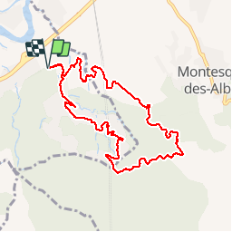
Trail Walking of 10 km to be discovered at Occitania, Pyrénées-Orientales, Le Boulou. This trail is proposed by jeff66.

Description

LES CHARTREUSES DU BOULOU 66 - piste DFCI AL 46 - vue sur le Canigou le BOULOU - tunnel ligne TGV transfrontalier sous les ALBERES - Vallntorena - piste DFCI AL 47 - point d'eau DFCI 353 - belvédcère sur Montesquieu les ALBERES -Argeles la cote - piste DFCI AL 6Bis - font dels 13 vents - point d'eau DFCI 333 - font del Sabater - point d'eau DFCI 336 - piste DFCI AL 5bis - la creu del Senyal - 68 villa Méditerranée - mas courtois - mas Molas - les relais des chartreuses - chapelle Ste Marguerite -
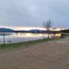
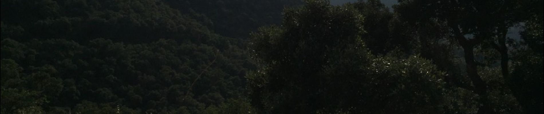
Elevation profile

Photos

Positioning

Country:
France
Region :
Occitania
Department/Province :
Pyrénées-Orientales
Municipality :
Le Boulou
Location:
Unknown
Start:(UTM)
487602 ; 4707534 (31T) N.

Comments

Please log in to post a review or rate the element


Close
My subscriptions